2026 · Live on the App Store
HikeGPS
Offline trail maps for iPhone, with on-device species identification, hazard warnings, and GPS recording.
- iOS
- Maps
- On-device ML
Screens and demos
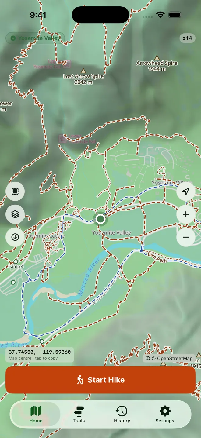
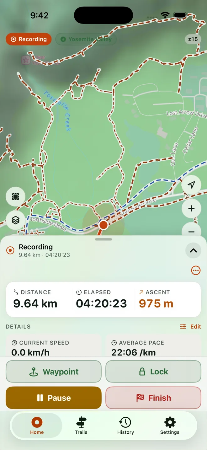
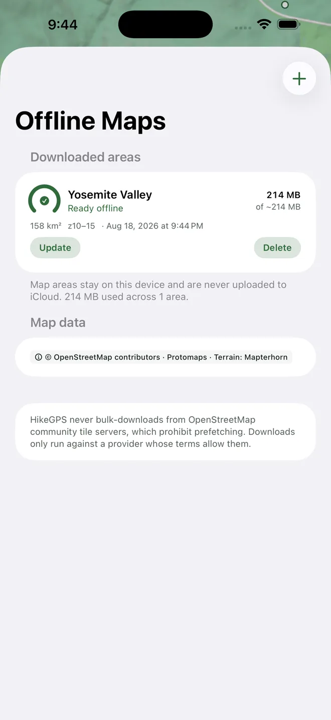
HikeGPS records your hike and shows you the trail with no signal, no account, and no tracking. It also names the plants, birds, insects, and fungi you photograph along the way, entirely on the phone.
- Platform
- iOS
- Offline use
- Downloaded map regions, trail data, and recording all work in airplane mode
- Species ID
- On-device model covering 150,000 species; nothing is uploaded
- Privacy
- No account, no ads, no third-party analytics; optional iCloud sync
- Status
- Live on the App Store
Cartography built for footpaths
Most map apps draw footpaths as near-invisible hairlines. HikeGPS renders its own hiking cartography instead: trails, tracks, steps, and bridleways separated by line style and colour, named along the path, summits labelled by elevation, and water and trailheads marked. Every route in view is listed and ranked, with real trails above pavements, filterable by type, length, distance, and grade.
Identification without a connection
Photograph a subject and the app proposes a crop, then returns several candidates rather than one. When the candidates agree on a genus it says so first — "Oaks, 94%" is more useful than a 62% winner presented as the answer. Identifications are kept in Sightings with where and when. Dangerous species carry a warning sized to the risk, from nettles to rattlesnakes.
Recording that survives the walk
Recording continues with the screen locked and the phone pocketed, and a checkpoint is written continuously so a crash, a flat battery, or a restart does not cost the hike. Pauses never invent distance or charge the break to moving time, and elevation combines GPS with the barometer where there is one, so a wobbly fix is not counted as climbing. Finished hikes keep their route, elevation profile, waypoints, and statistics, and export as GPX with timestamps intact.
Map data © OpenStreetMap contributors.